Service
Where terrain-aided navigation is viable — determined from the chart
Seabed suitability assessment
From the chart alone, before any vehicle enters the water, the assessment determines — for a specified vehicle, sonar and required position accuracy — where terrain-aided navigation can meet that accuracy over a given area, and where it cannot.
Terrain-aided navigation can fail in two distinct ways, and they are not equally dangerous. Over low-relief seabed the depth profile changes little with position, so the fix is weakly determined: the estimator cannot resolve position well, and it reports that low confidence — a benign failure, since the vehicle registers its own uncertainty. Over terrain that repeats, the measured profile matches the chart at the true position and at other positions equally well, so the estimator can converge on a wrong position while reporting high confidence — a hazardous failure, since the vehicle is confident and wrong. The assessment evaluates both conditions — whether position is observable at all, and whether a wrong position could pass undetected — and classifies each area by the more limiting of the two. Terrain-roughness indices quantify how rugged the seabed is; they test neither condition.
The authoritative global bathymetric grid (GEBCO) states in its own terms of use that it must not be used for navigation, and only about a third of the ocean floor is mapped to modern standards. A chart must therefore be assessed per area before it is relied on for navigation. The method is being cross-checked against published terrain-navigation trials: where a terrain-aided system is documented to have operated on a real seabed, the assessment should independently classify that seabed as suitable.
What a study provides
For a specified area, a study delivers:
- A per-area suitability classification — suitable, insufficient information, or ambiguous — as a map
- Operating-envelope guidance: minimum navigation-leg length and vehicle altitude
- Whether the seabed or the chart is the limiting factor, and whether a higher-resolution survey would change the result
- Reproducible end to end, traced to published datasheets, standards and survey data
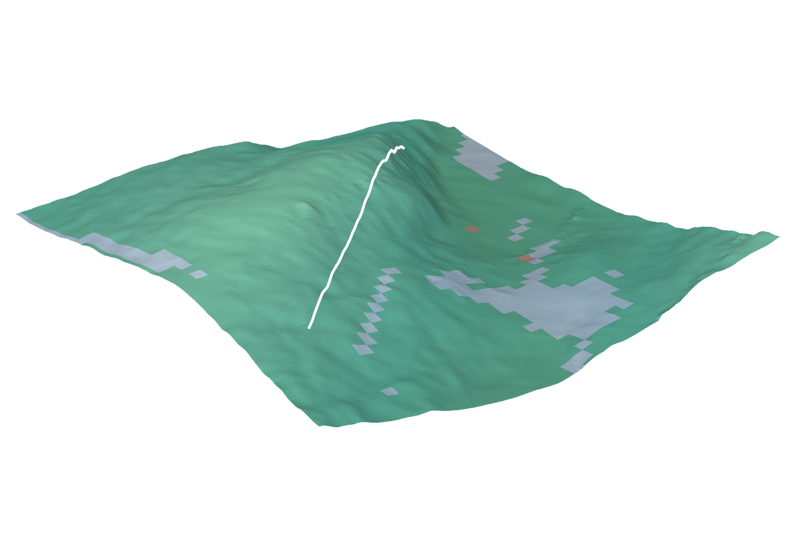
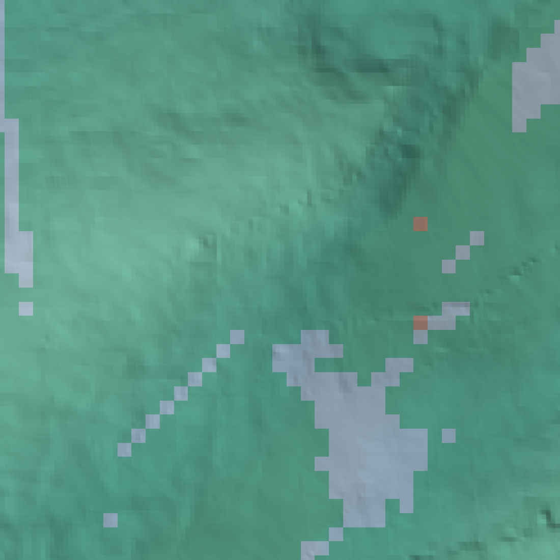
Bathymetry: EMODnet Bathymetry (CC-BY 4.0)
Roadmap
Capabilities in development
Navigation performance evaluation
A hardware-in-the-loop bench for quantifying underwater navigation performance before hardware is committed — instrumented results over real bathymetry rather than vendor datasheets.
- Sensor-suite trade studies
- Navigation requirement definition
- Vendor and subsystem evaluation
- Acceptance-test frameworks for unmanned maritime bids
Terrain-Aided Navigation engine
A GNSS-denied navigation engine that matches measured bathymetry against a prior map to arrest inertial drift, fused with inertial and Doppler-velocity measurements, for integration as a subsystem in AUV and UUV platforms. Working name Styx.
Integration — ROS 2, estimation core kept framework-independent
Sensing — multibeam and single-beam bathymetry, INS, DVL
Map data — EMODnet, GEBCO